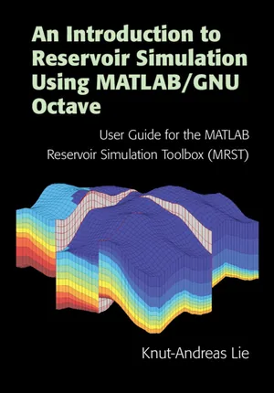
An Introduction to Reservoir Simulation Using MATLAB/GNU Octave
Knut-Andreas Lie — Cambridge University Press
ExplorationEnglish
Open-access book on reservoir simulation featuring practical examples with MRST .
Verified open licenceOpen Access, CC BY-NC-ND 4.0
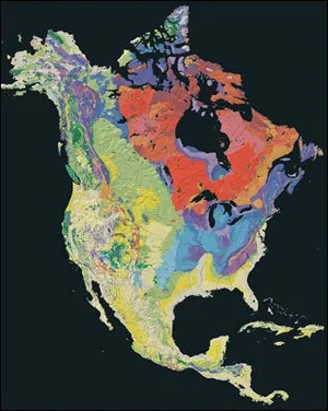
Official source ↗ cambridge.orgIntroduction to Geology (MIT 12.001)
MIT OpenCourseWare
ExplorationEnglish
MIT OpenCourseWare introduction to geology: minerals, rocks, and geological processes.
Verified open licenceCC BY-NC-SA 4.0
Official source ↗ ocw.mit.eduIntroduction to Seismology (MIT 12.510)
MIT OpenCourseWare
ExplorationEnglish
Fundamentals of seismic wave propagation underlying seismic exploration.
Verified open licenceCC BY-NC-SA 4.0
Official source ↗ ocw.mit.eduPhysical Geology (2nd Edition)
Steven Earle — BCcampus Open Education
ExplorationEnglish
Open university textbook on physical geology: rocks, stratigraphy, and structures—foundations for understanding reservoirs.
Verified open licenceCC BY 4.0
Official source ↗ opentextbc.caPNG 520: Phase Behavior of Natural Gas and Condensate Fluids
Penn State, John A. Dutton e-Education Institute
ExplorationEnglish
Phase behavior of natural gas and condensate, and reservoir fluid properties.
Verified open licenceCC BY-NC-SA 4.0
Official source ↗ courses.ems.psu.eduSedimentary Geology (MIT 12.110)
MIT OpenCourseWare
ExplorationEnglish
Sedimentary rocks and depositional environments: the primary host rocks for oil and gas.
Verified open licenceCC BY-NC-SA 4.0
Official source ↗ ocw.mit.edu